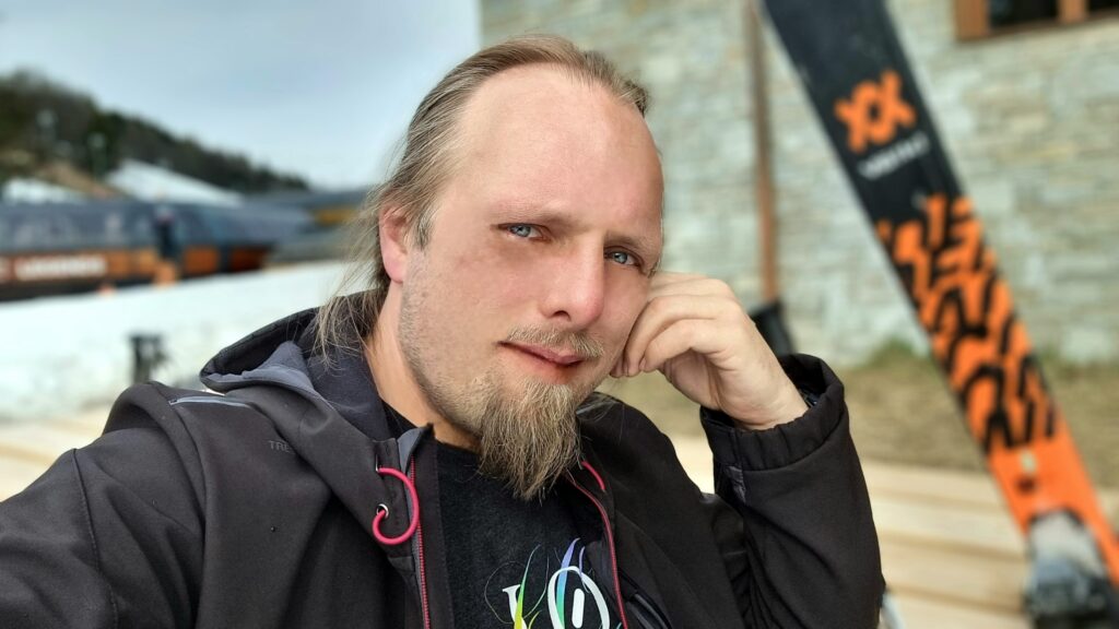
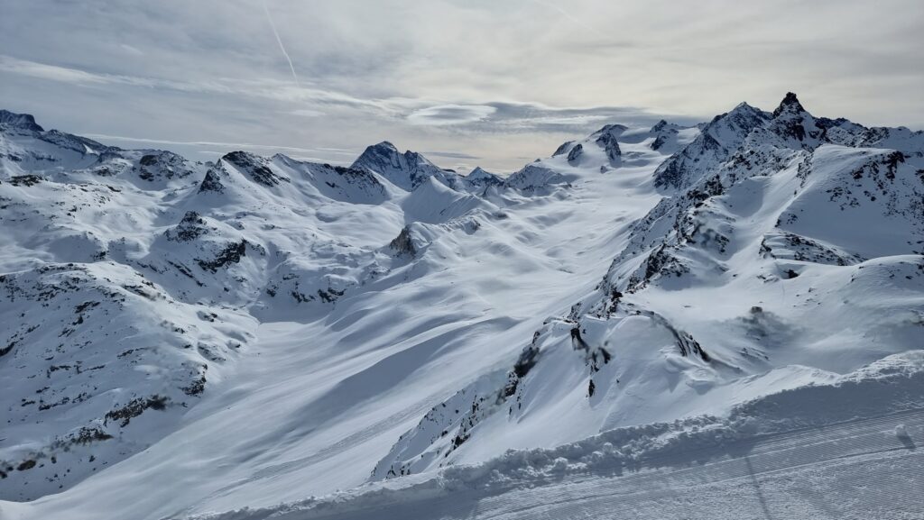
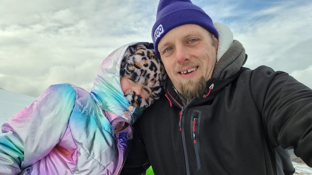
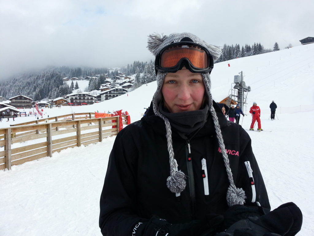
During a family holiday last week to the Three Valleys region of the French Alps for some skiing1, I
came to see that I enjoy a privilege I call the freedom of the mountain.
“Mornin’. Let’s go skiing.”
The Freedom
The freedom of the mountain is a privilege that comes from having the level of experience necessary to take on virtually any run a resort has to offer. It provides a handful of
benefits denied to less-confident skiers:
I usually don’t feed to look at a map to plan my next route; whichever way I go will be fine!
When I reach one or more lifts, I can choose which to take based on the length of their queue, rather than considering their destinations.
When faced with a choice of pistes (or an off-piste route), my choice can be based on my mood, how crowded they are, etc., rather than their rated difficulty.
Let’s tear this up, yo.
The downside is that I’m less well-equipped to consider the needs of others! Out skiing with Ruth one morning I suggested a route back into town that “felt easy” based on my previous
runs, only to have her tell me that – according to the map – it probably wasn’t!
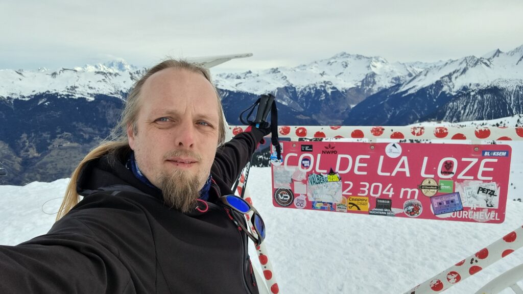
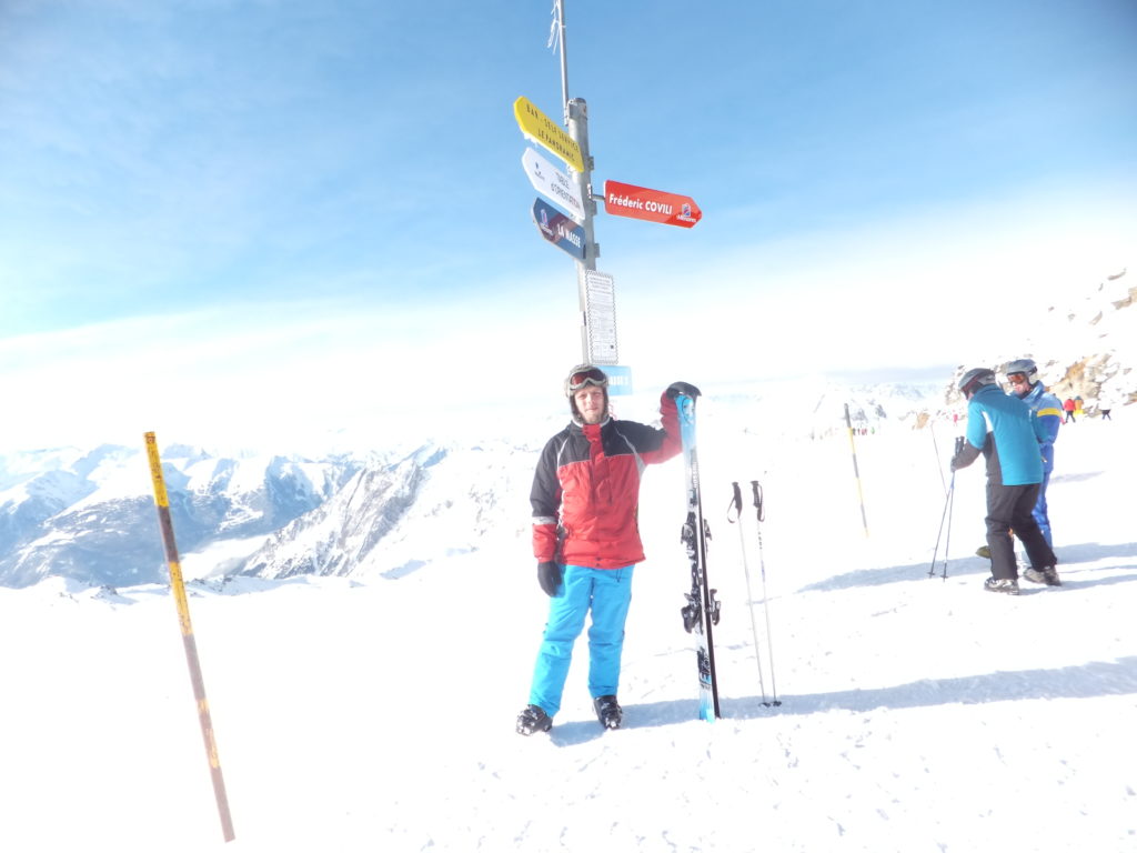
Approaching the Peak
The kids spent the week in lessons. It’s paying off: they’re both improving fast, and the eldest has got all the essentials down and it’s working on improving her parallel turns and on
“reading the mountain”. It’s absolutely possible that the eldest, and perhaps both of them, will be a better skier than me someday2.
I’m not perfect, mind. While skiing backwards and filming, I misjudged the height of an arch and hit the back of the head with it… despite the child shouting to warn me! 😅
Maybe, as part of my effort to do what I’m bad at, I should have another go at learning to
snowboard. I always found snowboarding frustrating because everything I needed to re-learn was something that I could already do much better and easier on skis. But perhaps if I can
reframe that frustration through the lens of learning itself as the destination, I might be in a better place. One to consider for next time I hit the piste.
My very first “ski-o-cache” was 9 years ago, down in La Tania: this was my second! Found the host easily at the
coordinates and found the cache in the third hiding place I tried. It’s quite stiff and hard to extract right now! Needed to wait to return it while some other skiers took pictures of
one another at the GZ, but got there in the end. Salutations d’Oxford, en Angleterre. MPLC!
Is there a name for that experience when you forget for a moment that somebody’s dead?
For a year or so after my dad’s death 11 years ago I’d routinely have that moment:
when I’d go “I should tell my dad about this!”, followed immediately by an “Oh… no, I can’t, can I?”. Then, of course, it got rarer. It happened in 2017, but I don’t know if it happened again after
that – maybe once? – until last week.
Last week I took our eldest up Cairn Gorm, a mountain my dad and I have climbed up (and/or skiied down!) many times.
I wonder if subconsciously I was aware that the anniversary of his death – “Dead Dad Day”, as my sisters and I call
it – was coming up? In any case, when I found myself on Cairn Gorm on a family trip and snapped a photo from near the summit, I had a moment where I thought “I should send this
picture to my dad”, before once again remembering that nope, that wasn’t possible.
My dad loved a good Munro: this photo of him was taken
only about a kilometre and a half West of where I took my most recent snap on Cairn Gorm, as he ice climbed up the North face of Stob Coire an t-Sneachda.
Strange that this can still happen, over a decade on. If there’s a name for the phenomenon, I’d love to know it.
On a skiing holiday I took a day to go geocaching. This was my second find. Shopkeeper was looking strangely at me through the window so I pretended to be interested in the sculpture
and took photos until he stopped watching. Cache was in third place I looked.
On a skiing holiday I took a day to go geocaching. This was my third find. Wonderful location, although I came (on foot) from the top and down rather than the bottom and up. Lovely
location, FP awarded.
On a skiing holiday I took a day to go geocaching. This was my first (and easiest) find. Log very wet, unable to sign, but photo attached of me and cache (taken some way away from GZ)
as proof of find.
On a skiing holiday I took a day to go geocaching. Even with the hint, unable to find this cache: suspect it must be buried under ice and snow? If that’s possible, perhaps worth adding
to the cache description or else removing the “winter” attribute? (Or maybe I just gave up too easily!)
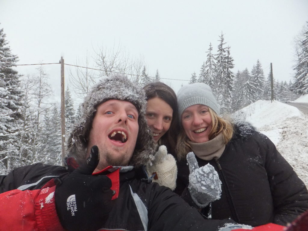
I spent last week in the French Alps with JTA, Ruth, Annabel, and some hangers-on. It was great to get out onto the snow again for some skiing as well as some ski-based geocaching, but perhaps the most remarkable events of the trip happened not on the pistes but on
an “afternoon off” that I decided to take after a rather jarring 42km/h (26mph) faceplant earlier in the day.
A great thing about taking a GPSr for snowsports is that you know exactly how fast you were going (my record is 101km/h!) when you crash. Thankfully my faceplant was at a mere 42km/h.
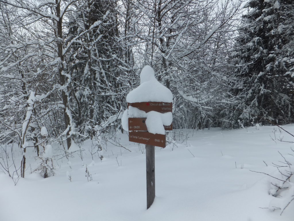
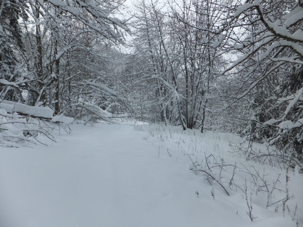
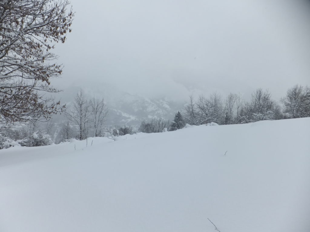
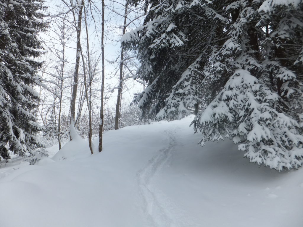
Not to be deprived of the opportunity for some outdoors, though, I decided to spend the afternoon hiking out to villaflou, a geocache only about a kilometre and a half away from our chalet. Well: a kilometre and a half as the crow flies: it was also some
distance down the steep-sided Doron de Bozel valley, through a wooded area. But there was, in theory at least, a hiking trail winding its way down the valley. The trail
was clearly designed for summer use, but it was a trail nonetheless, so I ate a hearty lunch with Ruth and then set out from La Tania to explore.
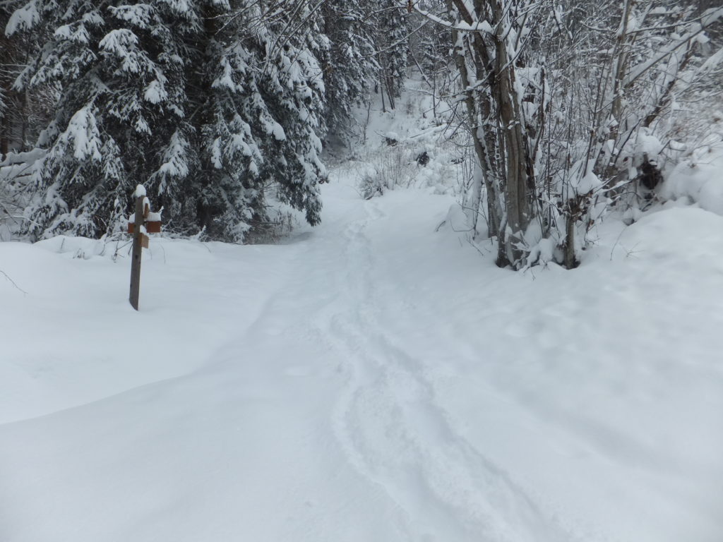
Signposts marking the trail were supposed to stand six feet tall, but barely stuck out atop the drifts… where I could find them at all!
It quickly became apparent that I was underequipped for the journey ahead. With the freshly-fallen soft snow routinely knee-deep and sometimes deeper still, I would have done well to
have taken at the very least snow shoes (and, I’d later conclude, perhaps also poles and rope). I was, however, properly dressed with thermal layers, salopettes, multiple
pairs of gloves, hat, etc., and – unlike Rory when he got caught out by snow the other year – was at
least equipped with two fully-charged GPS devices (and spare batteries), tightly-fitted boots, a first aid kit and emergency supplies. And as the only hiker foolish enough
to cut my way through this freshly-fallen snow, my tracks would be easy to follow back, should I need to.
Walking through knee-deep snow is tiring, even downhill! Beautiful, though!
Nonetheless, it’s quite an isolating feeling to be stranded from civilization… even if only by half a kilometre… surrounded by snowy mountains and silent woodland. If you’re approaching
the hike in a safe and sane way – and you should be – then it makes you especially careful about even the simplest of obstacles. Crossing a small stream whose bridge is completely
concealed beneath the snow becomes a careful operation involving probing the snow and testing the support it provides before even beginning to ford it: a turned ankle could lead to at
the very least an incredibly painful hike back!
Needless to say, my caution around snow and mountains has been expanded by not only Rory’s scary experience, linked above, but also of course by my dad’s death almost three years ago, who slipped on snow and fell off a cliff. And
he was hiking in Britain!
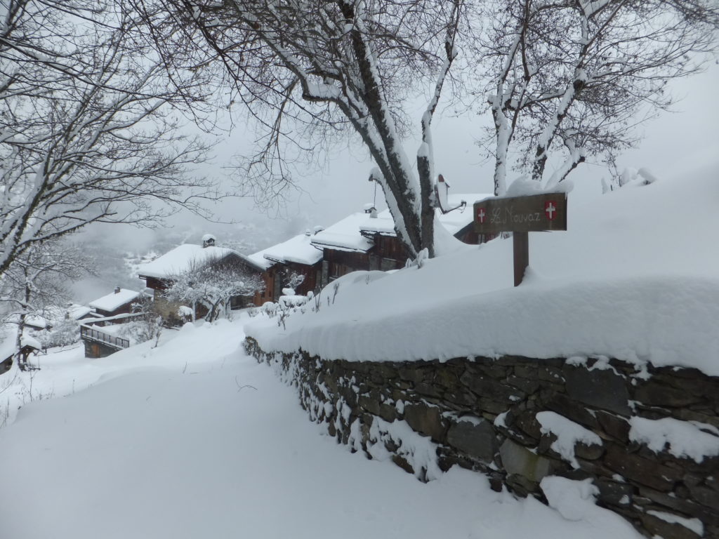
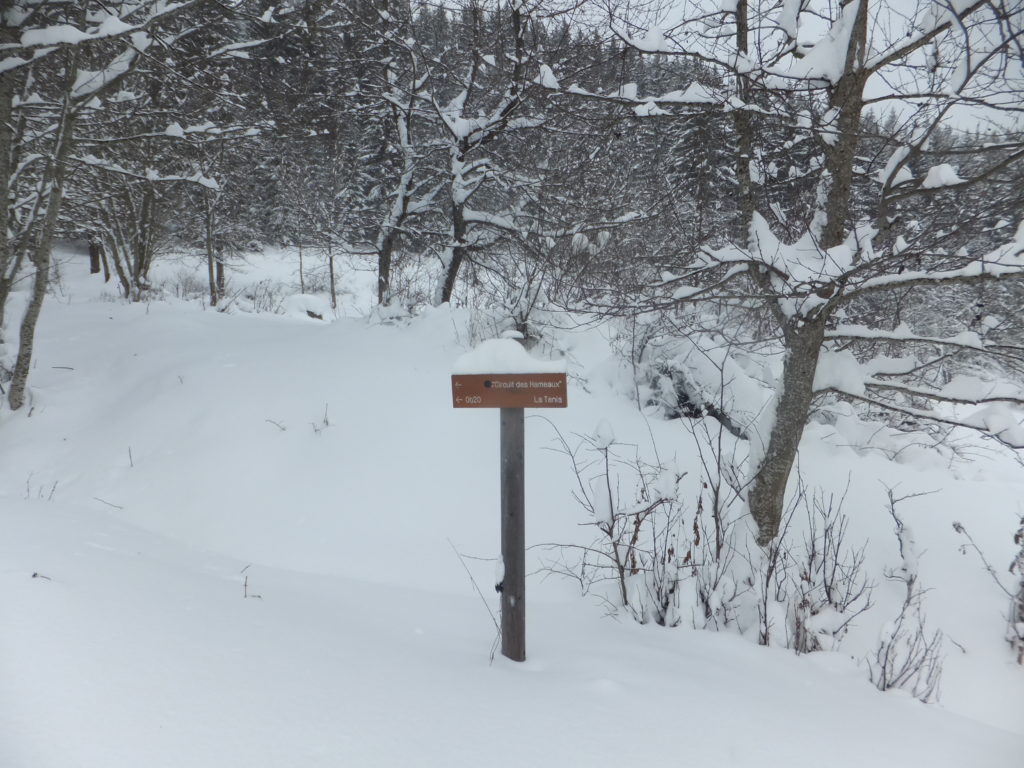
After my hike down from La Tania, I was pleased to pass through La Nouvaz, a small alpine village that indicated that I was over half-way to my destination.
The village of La Nouvaz, half-way as the crow flies between my accommodation and the geocache (and over half-way by my planned route), was beautiful to behold: a sign of civilization
after about an hour of hard wading through snow. Even when you’ve used satellites to know your location accurate to a metre, it’s nice to be reassured that your expedition really is
panning out as you’d planned.
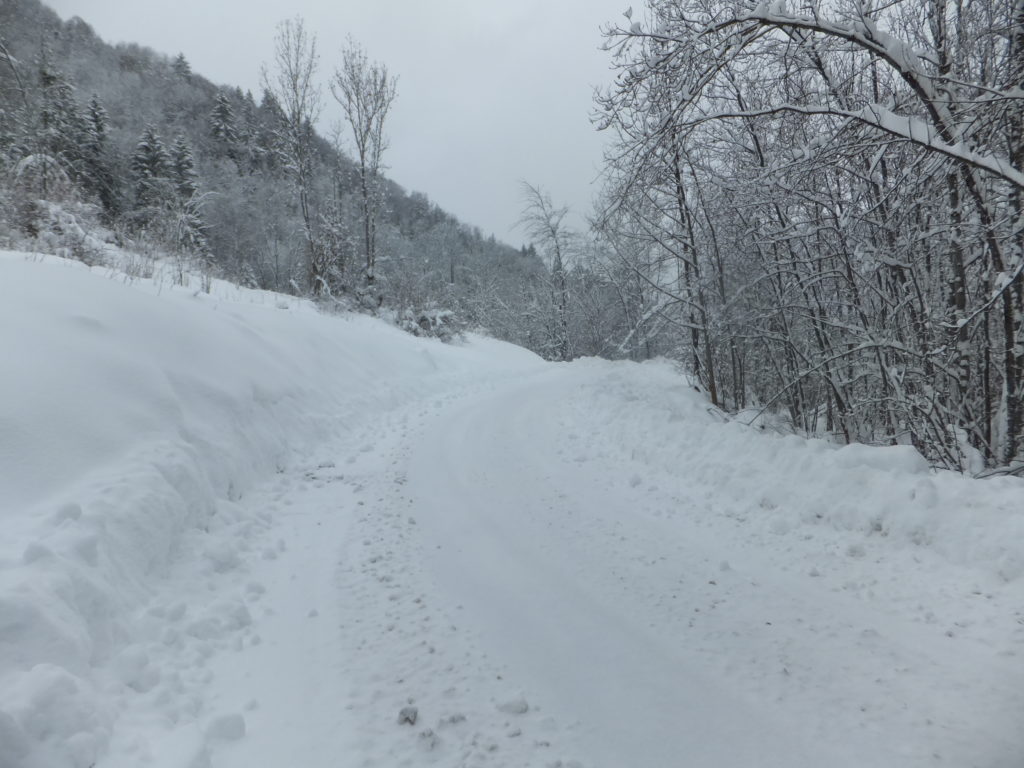
The “road” into La Nouvaz had been ploughed that morning, but was already becoming treacherous.
I also now had a metric to translate the journey time estimates that I’d seen on the signs: it was taking me about three times as long as they said, presumably because they’d been
written for summer hikers. The segment that had been advertised as 20 minute walk was taking me an hour: that was useful information – I sat with a friendly dog while I
recalculated my travel time with this new data. There was a blizzard blowing across the mountaintops (which had been partially-responsible for my faceplant in the morning!) and I’d
heard that it was expected to descend into the valley in the early evening, so I wanted to make sure I wasn’t out in the open when that happened! But everything was okay, and I had time
to complete my expedition with two hours to spare (which I reasoned could be used hunting for the geocache, as well as a emergency reserve), so I pressed on.
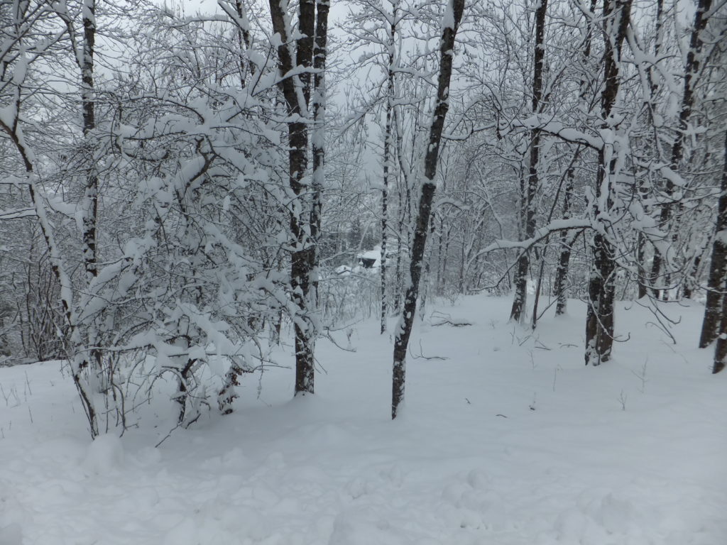
The trail become more well-concealed as I pressed on. Here was my first sight of the hamlet of Villaflou, ahead.
After La Nouvaz, the path became even harder to navigate, and in the thinner tree cover huge drifts formed where underneath there were presumably walls and fences. At one point, I
slipped through snow that came up to my waist, and had to dig my way out. At another, I’d deviated from the path and was only able to get back on course by sliding down a snowbank on my
bum. And honestly, I can’t think of a more fun way than that to spend a Narnian hiking trip.
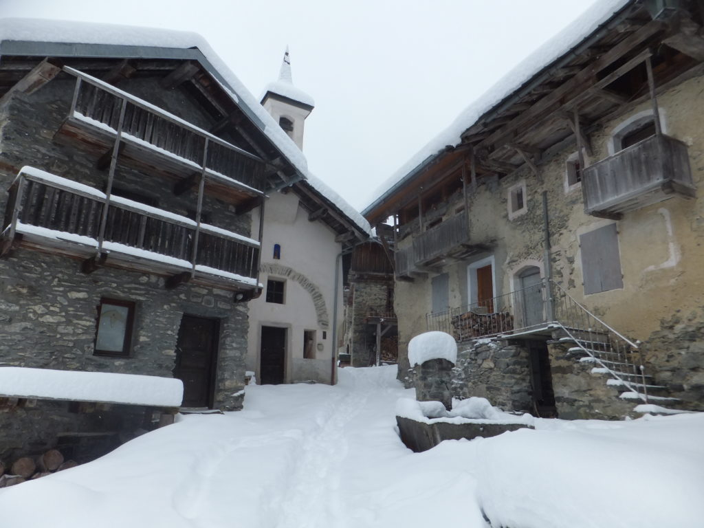
The hamlet at Villaflou – nothing more than a couple of buildings clustered around a chapel – is as picturesque as it is remote.
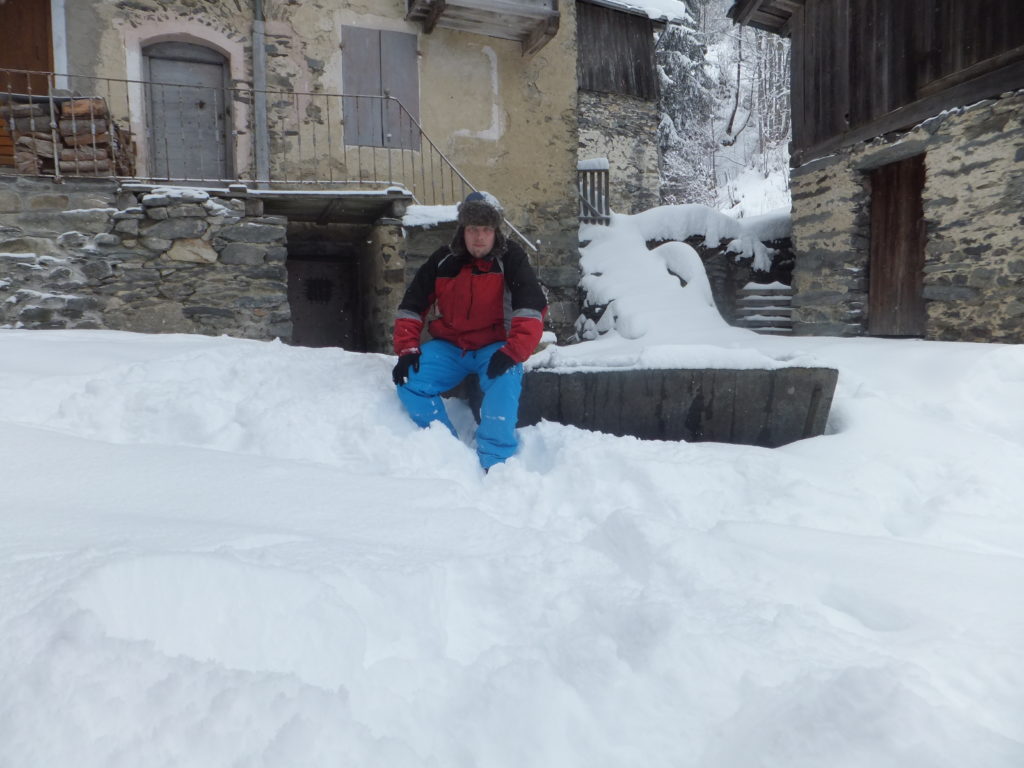
My GPS coordinates took me directly to the pump and trough in the square at Villaflou, and I spent some time (in my thinner pair of gloves) feeling around its metal edges in an
effort to find the small magnétique geocache that was allegedly there. But that’s not where it was at all, and honestly, if I hadn’t just spent two hours hiking through
deep snow I might now have had the drive to search for as long as I did! As I hunted, I thought back to my GCSE in French and tried to work out how I’d explain what I was doing to
anybody who came by, but I never saw another soul. Eventually, my efforts paid off, as I discovered a small metal plate in a cunning hiding place, disguised to make it look like it
belonged to the thing it was attached to… and behind it, a log with just four names. And now: mine was fifth!
The snow was a lot less-deep in Villaflou itself, and had clearly been stamped down by locals moving around.
I texted my revised travel times to Ruth, and then set off back. Following my footsteps made the journey less-arduous, but this was compensated for in equal measure by the fact that I
was now heading uphill instead of down.
As I passed through La Nouvaz, I noticed two strange things –
Firstly: looking back up at the route I’d come down, from La Tania, I saw that there was a signpost that indicated that the recommended route back wasn’t the route that I’d
come to begin with. The recommended route was the other way, to the left, and would only take me about 30 minutes (or, based on my recalculation, about an hour and a half).
And secondly: looking along this proposed new route, I observed that somebody had taken it since I passed this way last. There had been no tracks on that route before,
but now there were, and looking up the mountainside I could make out the heads of two hikers bobbing away over a rise.
Meanwhile, the blizzard was starting to descend into the valley, so I was certainly keen to try the “preferred” route.
I followed in the footsteps of the other hikers: it’s a great deal easier to follow than to lead, in deep snow, and I was glad to be able to save the energy. I treated myself to a swig
from my hip flask as congratulations on finding the geocache and my good fortune in being able to tail some other hikers heading my way. But my celebration was perhaps premature! About
twenty minutes later, I caught up with the two women ahead, and they clearly weren’t doing very well.
They’d come up to La Tania from Paris, accompanied by some friends, for a long weekend. Their friends had gone off skiing, but they hadn’t been able to join them because they were both
pregnant (four months and six months), and no doctor on Earth would recommend skiing after the first trimester, so instead they’d decided to go out for a walk. There was a circular walk
on a map that they’d seen, which looked like it’d take about an hour, so they’d set out (wearing little more snow protection than wellington boots, and one of them without even a hat),
following what looked to be a well-trodden footpath: in fact, it was probably the first part of my outbound journey, from La Tania to La Nouvaz, that they’d followed, “overtaking” me
when I left the route to head on to Villaflou and the geocache.
The two women had been taking turns to lead, having also discovered how much easier it is to follow in somebody else’s footsteps, but I wonder how well-equipped to ‘lead’ either of
them really were.
On the ascent back up they’d gotten lost – there are no good waypoints, the path is unclear, and the encroaching blizzard hampering the ability to pick out distance landmarks. They’d
wandered – it turned out – several hundred metres off where the path should have gone, and I’d made the mistake of assuming that they knew what they were doing and followed them the
same way. Worse yet, this ‘alternative’ path back to La Tania didn’t feature on any of my digital maps, and these two severely-underequipped mothers-to-be were struggling with
inadequate grip on the slippy ground beneath the snow. When I first encountered them, one of them had slid into and was trapped in a snowdrift, and the other called me over to help her
pull her friend free.
Between them, they had a paper map designed for casual summer use, and they’d realised their predicament. Were I not there, they confessed (once we’d established a dialogue somewhere
between their shaky English and my very shaky French), they were about to start trying to find sufficient landmarks that they could summon rescue. Instead, now, they’d put themselves
into my care. “We do not want to die,” said the one I later learned was called Vicki, after a few seconds consideration of the translation.
Is this a path? Was it?
I plotted us a new course, cross-country up an aggressive slope towards the nearest road and thus, I hoped, towards civilization. I lead the way, tamping down the snow ahead as best I
could into steps, and bemoaned my lack of a rope. I texted updates to Ruth, advising her of the situation and in each one establishing when I’d next be in contact, and as the women
began to tire, prepared for the possibility that I might need to eventually relay coordinates to a rescue team: I practised my French numbers, under my breath, as we weaved our way up
the steep mountainside.
After hours out on a mountainside, not sure exactly where you are in relation to a safe route home, this is a sight for sore eyes.
A hundred metres from the road the gradient became worse and we were unable to climb any higher, so we turned towards La Tania and tacked alongside it. There, about an hour and a half
after I first met them, we found a signpost that indicated that we were back on the footpath: the footpath that they’d originally hoped to follow but found themselves unable to spot,
and which – by following in their footsteps – I too had failed to spot.
Finally reaching the main road, Vicki and Marine were pleased to be able to get back to their hotel and not die out on a mountainside.
Following that, we got back to the road to La Tania and to safety.
I find myself wondering many things. For one: who, at six months pregnant, thinks it’s a wise idea to trek through deep snow, underequipped, from a bad map, over an Alp? But I also
wonder what might have happened if I’d have taken the same route back as I’d taken out to my geocache (and thus never bumped into them)? Or even if I’d not have faceplanted earlier in
the day and thus decided to take the afternoon off from skiing at all? They weren’t ever far from safety, of course, and while the weather was rapidly becoming hostile to
helicopters, they’d have probably been rescued so long as they’d been able to describe their position adequately (and so long as they didn’t keep wandering in the direction they’d been
wandering when I met them, which would ultimately have taken them to a sheer cliff), but still…
So yeah: on my holidays, I rescued two lost pregnant hikers from an Alpine blizzard, while returning from a geocaching expedition. I think I win today’s “badass point”.
Je parle un peu le français. Je me excuse pour la rédaction du présent en anglais.
I have been staying in La Tania on a ski holiday with friends and family. This morning, I fell and her my neck, so I thought I’d take a break from skiing and do some geocaching instead.
The hike down the valley was hard in the fresh dump of snow, and I wished that I’d brought snowshoes! Or poles! Our even a rope! I routinely found myself wading through knee-high snow,
and I’d ocassionally have to traverse drifts that came up to my thigh. I was very glad to reach the convenient break point of La Nouva, where I stopped to chat to a small yappy dog
before pressing on.
Villaflou itself is beautiful: I especially love the cute little chapel at its heart. I spent some time investigating the wrong thing, looking for the cache, before eventually working
out where it might be. Only the 5th person to find it!
On the way back to La Tania (an even more arduous hike by a different route that I thought would be easier but truly wasn’t) I was distracted by two French ladies calling me over. They
were lost, having taken a wrong turn, and – perhaps as a result of them being 4 and 6 months pregnant, respectively – were finding it very hard to push themselves up the mountainside
against what was now ocassionally waist-deep snow. Naturally I came to their rescue, using my GPSr to lead them up to the path they sought: a further arduous journey of pushing,
pulling, digging, and crawling until we finally reached the outskirts of La Tania and they were assured of their safety.
Four hours of hiking in snow, sometimes up to my waist and rescuing two lost hikers makes this perhaps the hardest I’ve ever worked for a geocache. And I loved it.
On the way out to the French Alps for a week of skiing, and we had enough air miles to upgrade to business class on the way out, so I’m sat in the lounge enjoying complimentary gin &
tonic and croissants. 10 in the morning, and I’m already buzzed: after a long and hectic few months, I’m really glad to be off on holiday!
Aaaand…. right before I left I put in an application for my boss’s job, which she vacated a few months ago. Should hear by the time I get back whether I’m being invited to interview,
so that’s exciting too!
Anyway: just wanted to share my excitement with my favourite MegaMasons. If I’m not online much this week, you’ll know why! Have a great week, folks: love you all!
This is the third in a series of four blog posts which ought to have been published during
January 2013, but ran late because I didn’t want to publish any of them before the first one.
I barely spent any of January in the office at all, between my week working in
London and the week directly after it, the latter of which I spent in the French Alps!
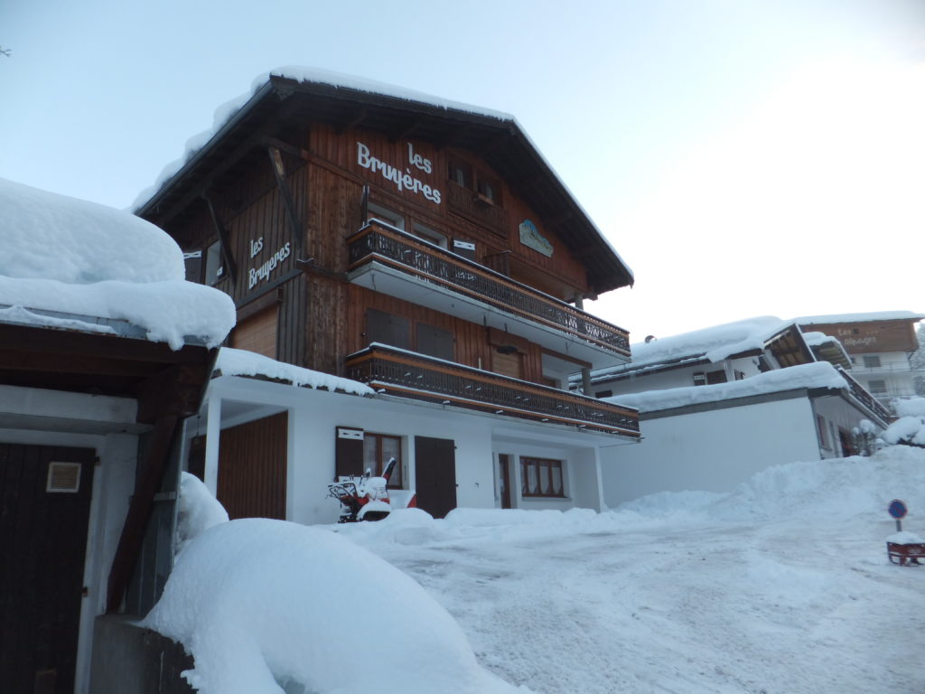
Les Bruyères; our chalet in the Alpine town of Les Gets.
Ruth, JTA and I had opted to make the entire journey from
Oxford to Les Gets by land, because there had (up until recently) been the real possibility that Ruth would be pregnant (and air travel is somewhat riskier for pregnant women). Secondary reasons included the fact that flying is really, really bad for the planet, and that
JTA’s a fan of staying on Terra firma as far as he can.
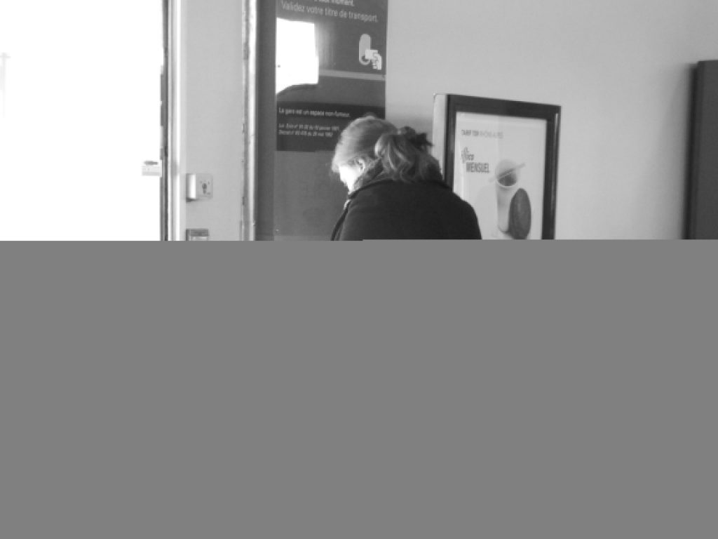
Ruth validates our tickets as we prepare to change trains, at a French station.
There were good and bad aspects of this kind of travel. Bad parts included having to be at a park and ride bus terminus well before the sun rose, in order to begin a mammoth journey
that would take most of the day, and frantic dashes across the labyrinthine Paris metro. But on the upside, we didn’t at any point have to take off our shoes and get herded through
backscatter machines, plus the fact that nothing makes you feel cosmopolitan quite like standing in the bar car of a TGV, rocketing through the French countryside, while you
sip on a glass of pinot and watch the world fly by.
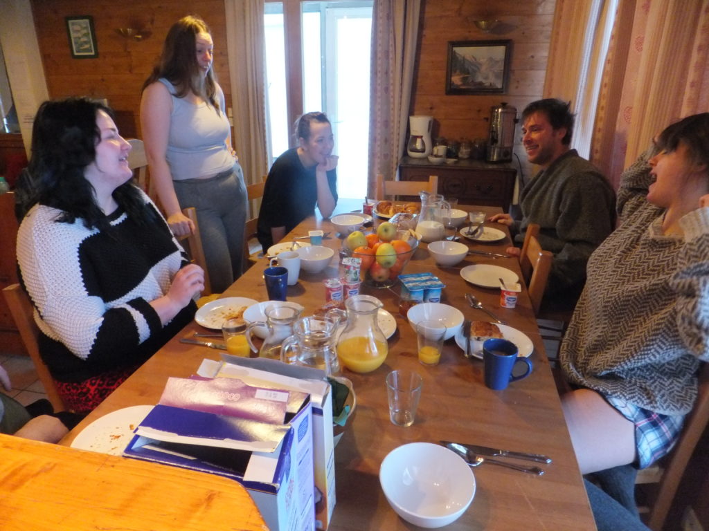
Ruth joins Becky, Harriet, Owen and Cat at the chalet’s dining table.
We arrived, and met with the rest of our team: Ruth’s brother Owen, his girlfriend Cat and his friend
Danny, JTA’s sister Harriet (who’d come over on the train from Lyon, where she’s studying right now), and my sisters Sarah and Becky. We also met our chalet host Dan, who – over the course of the week – put up with a great deal from us (not least our dinnertime conversations
about duck rape, racial stereotypes, sex toys, self-defecation, and worse) and still stood there with a smile as he served us the most spectacular meals imaginable.
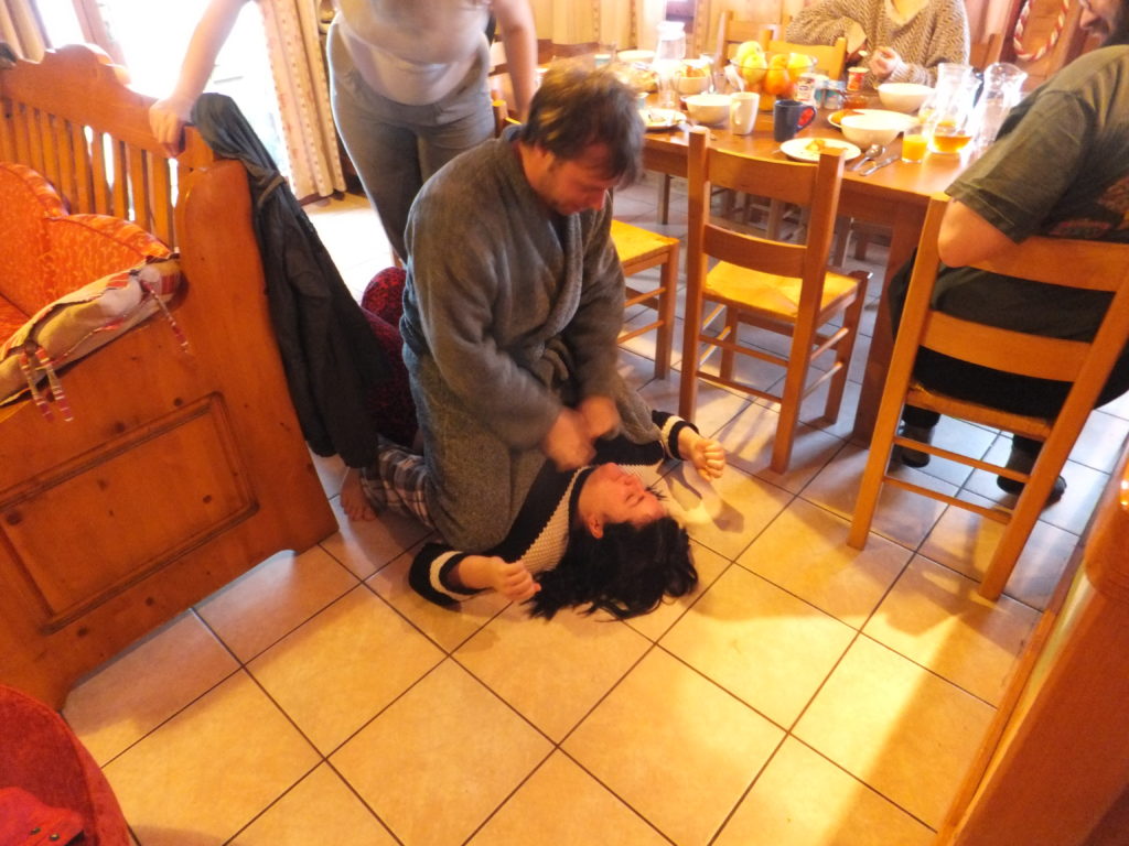
Owen shows Becky what it means to be “Double Bubbled”. She remains unimpressed.
And that’s without even mentioning “Double Bubble”, a game that Owen and Cat invented which seems to involve pinning people and tickling them. They claim that it’s the cause of the
jumping, yelping, and screaming sounds coming from their bedroom on an evening, but I’m not convinced.
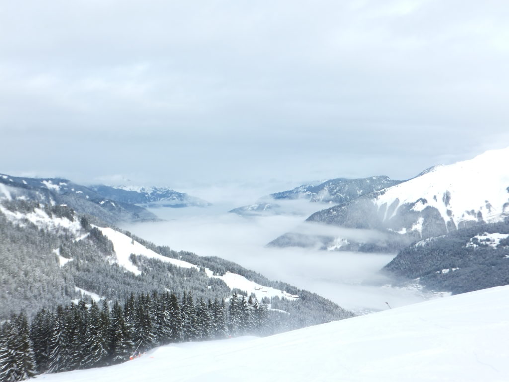
Looking over the valley from the summit of Chamossiere.
My first impression of the slopes of the Les Gets-Morzine area were that they were a little heavily
geared towards intermediate skiiers, with lots of blue and red runs criss-crossing the mountains around the bowl-shaped valley, but before long I’d found my way out to some of the
aggressively-mogul-ridden and steeper black and red runs that found out towards the edges of the resort.
As a new skier, Harriet spent an incredible amount of time buried in snowdrifts, laying on her back, or tangled around a tree. It’s all part of the learning process.
It was particular fun to get out skiing with Sarah again, for the first time in years, and to finally prove to myself something that I’ve suspected for a while: that while my skiing
ability is close to peaking, Sarah’s still continuing to improve and is by now a better skiier than I am. As we hammered our way down some of the roughest, fastest runs we could find on
the final day before she and Becky returned to the UK, she’d pull ahead and it would be everything I could muster to keep up and keep control.
Sarah, about to try to egg me on to try another series of challenging runs, just as I’m getting my breath back from the last ones.
I also enjoyed finally getting to ski with Ruth, something that we’d wanted to do together for almost five years (during which we’d both skied, just – for one reason or another –
never together). She’s one of those weird skiers who genuinely prefers to ski without poles, which I’d often quiz her about during our periodic high-altitude beer breaks.
Following one of my first proper tumbles in years – and damn, it was a spectacular one, snowballing down black run “Yeti” when I took a corner too fast – Sarah snapped this picture.
In the video below (or watch on YouTube), she falls over at about 1m 19s, in case
you want to skip to that bit.
Our new snowsportspeople – Cat and Harriet on skis for the second and first times in their lives, and Danny on snowboard for the first time in his – took to their sports like fish to
water. Or, at their worst, like fish to waterfalls. But by the end of the week, every single one of them had made far better progress than I could have possibly imagined.
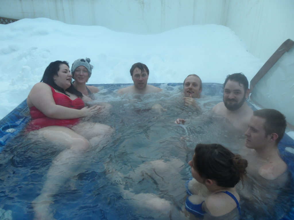
I’m sure that the hot tub was only meant to seat five or six, but that didn’t stop us all piling into it at the end of a day’s snowsports.
We worked ourselves hard, and by the time we were back in our hot tub on an evening, with glasses of gin in our hands, we really felt like we’d earned them.
Watch this space: a full gallery of all of the photos taken on the trip will be made available soon. Sorry about the delay.
Oh yeah, suppose I ought to finish writing about Bulgaria now that we’ve been back a couple of days.
MORE SKIING: Aced The Wall in the end, and damn it’s a good run – long and fast and challenging, even when you think you know it. Coming back up on the chairlift I met a couple of Irish
blokes (the Irish seemed to be the most-represented nationality on the ski slopes; not sure why), who – as the fog of the final day began to white-out the mountain top – pointed down at
The Wall and said that you’d have to be a nutcase to go down it right now. So I pointed out that I’d just come off it, and was on my way back to it again.
SKIDOOS: Damn, these things are fun. Imagine a motorcycle but on skis, ripping along hard-packed ice in the middle of the night at 70km/h, guided only by a drunk Bulgarian. On or off
road, Skidoos are brilliant. When the next ice age comes, I’m getting one to do my shopping in.
KARAOKE: On our final night, we went out and (alongside some Irish blokes we met) made complete idiots of ourselves at the local karaoke night.

